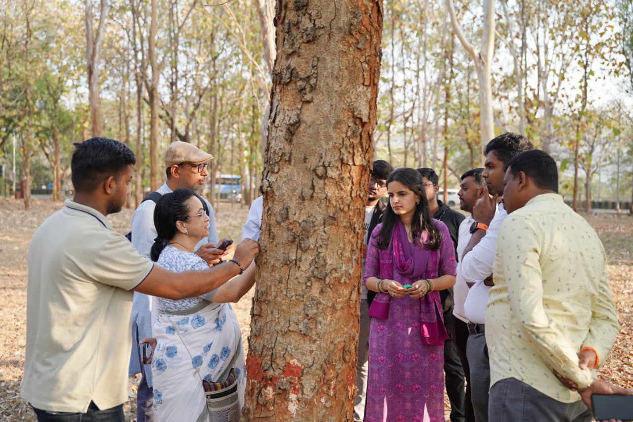
Mysuru Tree Audit 2025–26
ನಮ್ ಮರ — ಮೈಸೂರಿನ ಮರಗಳ ಜನಗಣತಿ

Mysuru Has
Counted Its Trees.

One lakh and twenty thousand of them. On its streets alone. India's most comprehensive citywide urban tree census — built by citizens, for Mysuru.

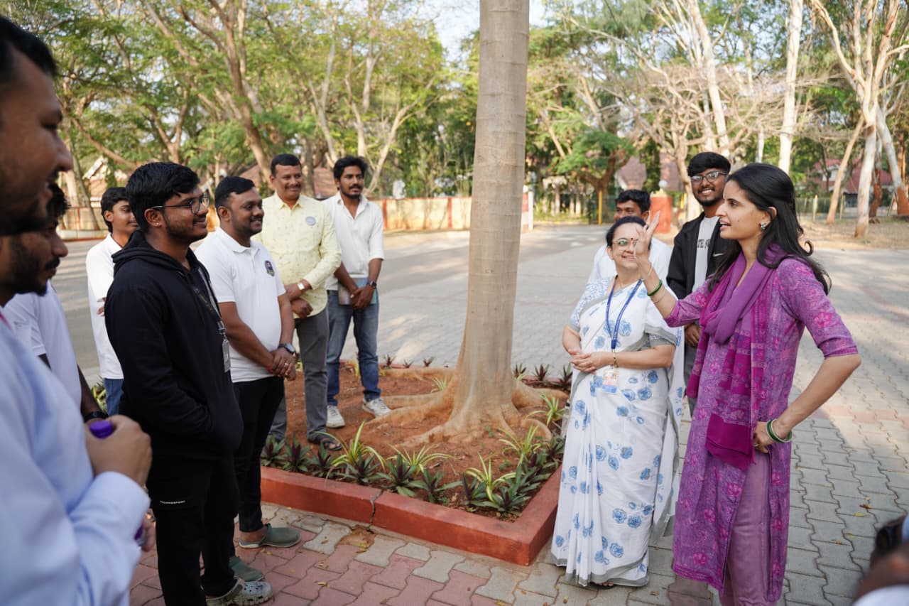
Led by Trishikha Kumari Wadiyar & Bherunda Foundation
Scientific leadership by CFAL Research Centre, Mangaluru
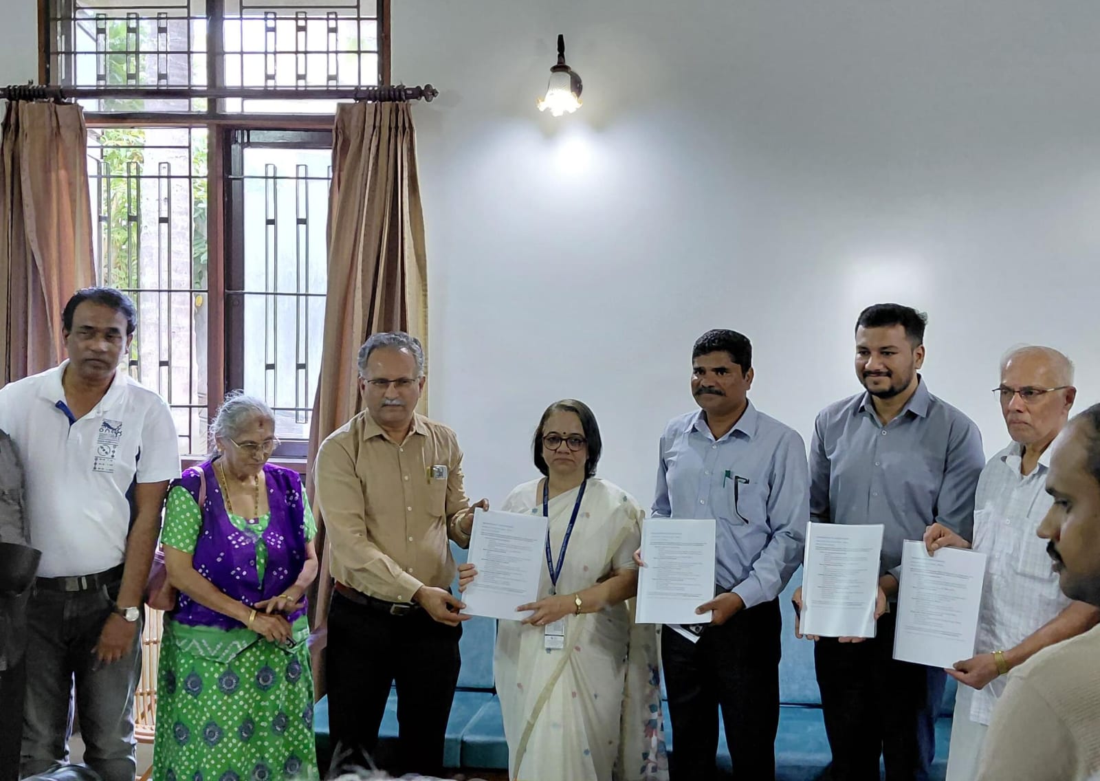
In partnership with Mysore Grahakara Parishat & Mysuru City Corporation

1,21,789
Trees Mapped
Streets of Mysuru
65 / 65
Wards Covered
Complete city
520
Citizen Scientists
Volunteers
23
Organisations
Colleges, corps, NGOs
Scroll to explore
About the Project

Nammara — My Tree.

ನಮ್ ಮರ means "My Tree" in Kannada. Every citizen of Mysuru owns a piece of this census. Every tree counted belongs to the city — its streets, its lungs, its living heritage.
Vision
"Every tree in Mysuru known, mapped, and protected — by its own citizens."
Nammara is not a government project. It is not a corporate initiative. It is a city choosing to know itself — its green canopy, its cooling trees, its living heritage — documented with scientific rigour by the people who live under those trees.
Mission
"Scientific, citizen-led documentation of Mysuru's urban forest — streets, parks, institutions, private land."
Phase 1 mapped every street tree across all 65 wards. Phase 2 enters parks and gardens. Eventually, every tree in Mysuru — on institutional campuses, in heritage properties, on private land — will be documented, mapped, and protected by the citizens who know them.
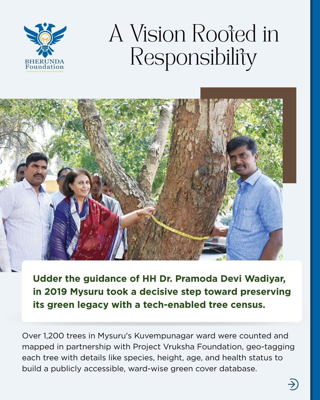
A Vision Rooted in Responsibility — Bherunda Foundation
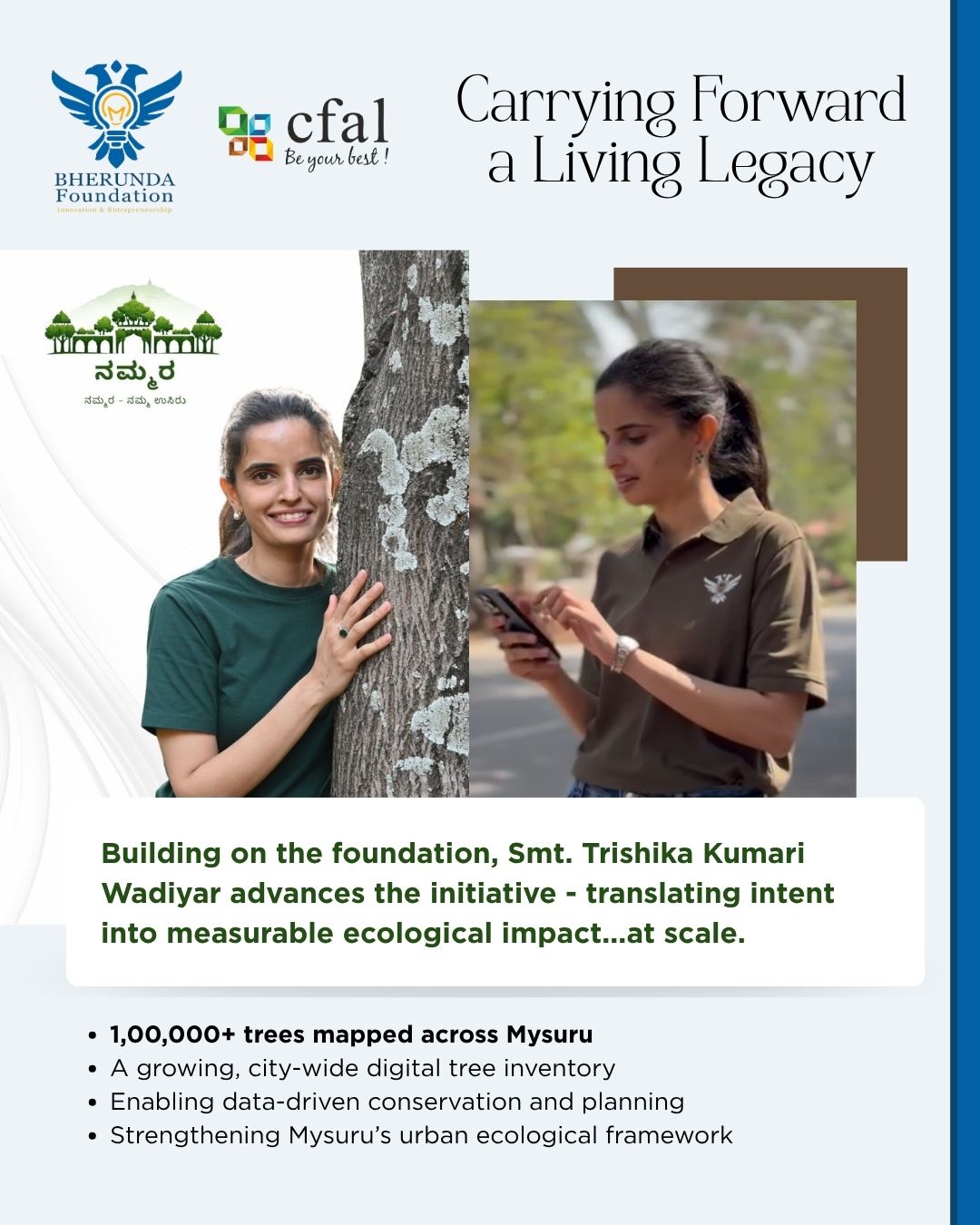
Carrying Forward a Living Legacy — Bherunda Foundation & CFAL
Of Mysuru. By Mysuru. For Mysuru.
Voices Behind Nammara

Messages from the Leaders

Rooted in the royal tradition of Mysuru, guided by science, and carried forward by citizens.
"

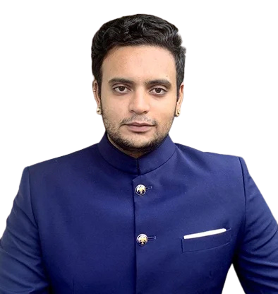
Mysuru's identity as a garden city is inseparable from its trees. This census gives us the data to protect that identity — not with sentiment, but with science. Every tree mapped is a tree defended. I am proud that the citizens of Mysuru have made this possible.

Yaduveer Wadiyar
Yaduveer Krishnadatta Chamaraja Wadiyar
MP, Mysuru-Kodagu · Director, Bherunda Foundation
"

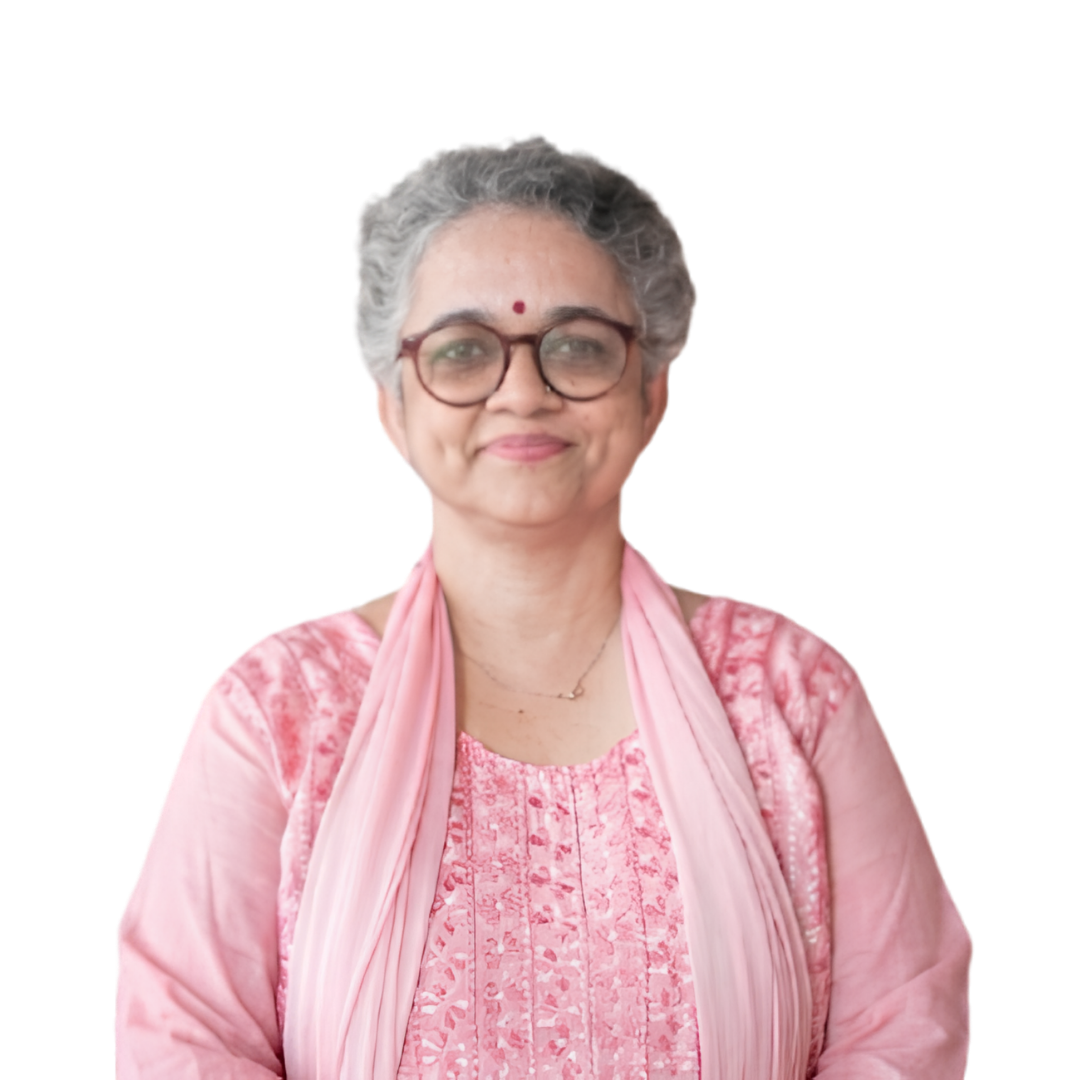
When citizens know their trees — their names, their age, their health — they will not let them be cut. A relationship changes everything. The 520 volunteers who walked Mysuru's streets were not just counting trees. They were becoming their guardians.

Dr. Smitha Hegde
Dr. Smitha Hegde
Research Director, CFAL Research Centre, Mangaluru · Scientific Lead, Mysuru Tree Audit
"

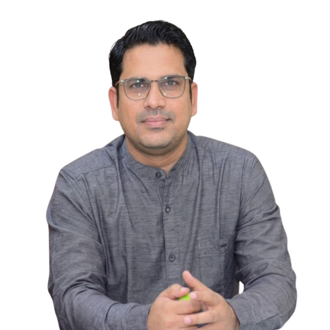
The Mysuru City Corporation is proud to partner in this landmark initiative. A fully documented urban forest inventory gives our city planners the evidence base to make decisions that protect Mysuru's green character as we grow. The data that Nammara has built belongs to this city's future.

Shaikh Tanveer Asif
Shaikh Tanveer Asif
Commissioner, Mysuru City Corporation · Institutional Partner, Data Governance
The Science

What We Know About
Every Single Tree

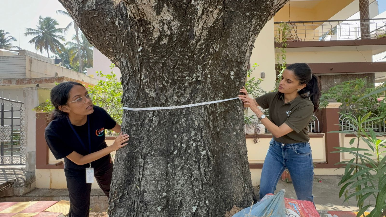
This is not a headcount. Each of the 520 volunteers was a scientist. For every tree in Mysuru, 8 data points were recorded.
1,21,789
Trees Mapped
Streets of Mysuru
143+
Species Found
In Ward 47 alone
5M kg
Carbon Stored
Ward 47 only
32.3%
Pongamia
Most common species
Ward Coverage Progress
65 of 65 wards complete · All streets of Mysuru documented
How the Census Grew
5,168
Oct '25
12,262
Nov '25
15,207
Dec '25
16,546
Jan '26
31,940
Feb '26
19,917
Mar '26
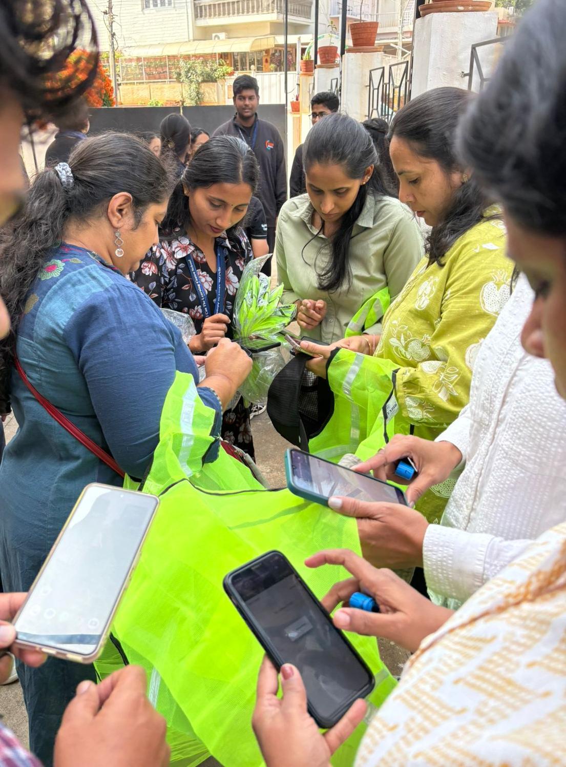
Mysore Tree Audit field app
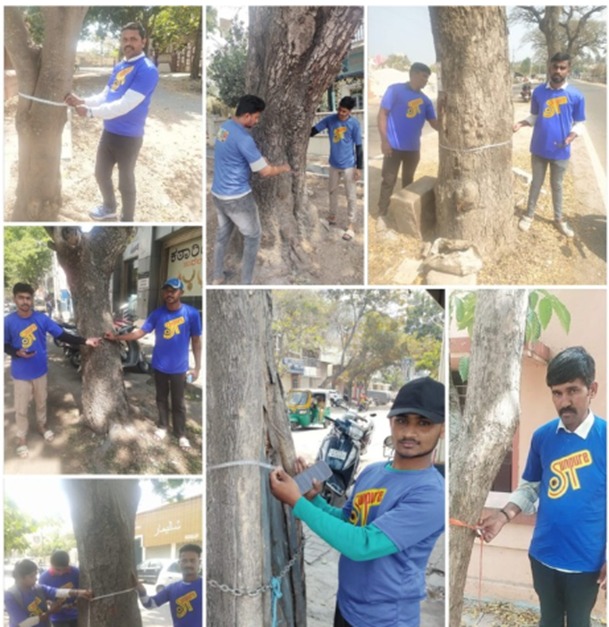
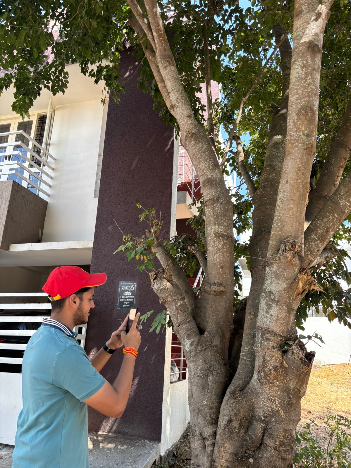
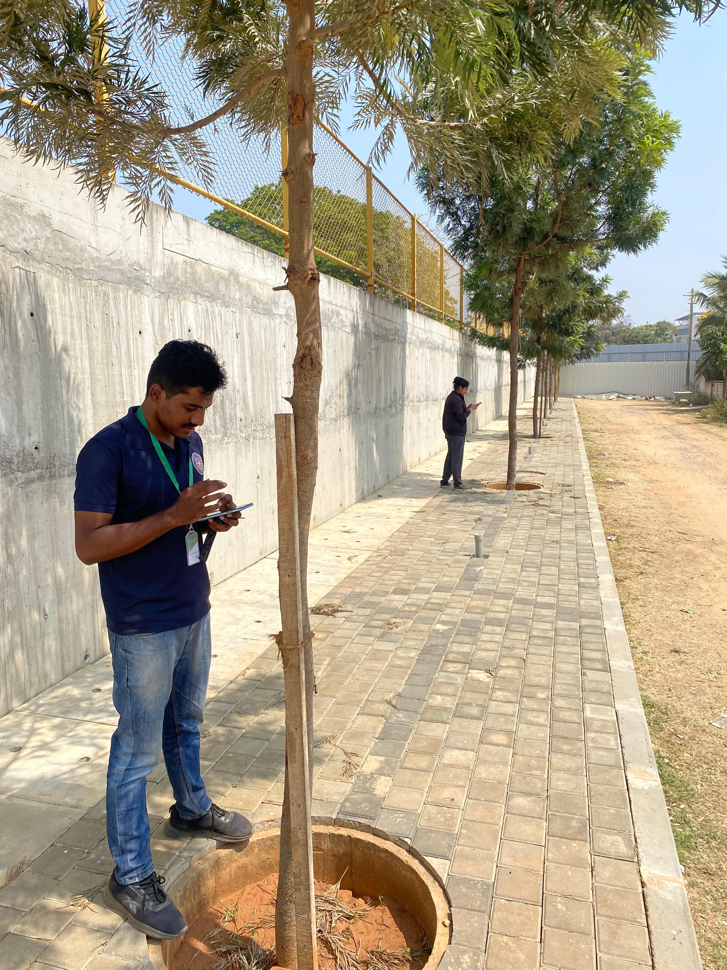
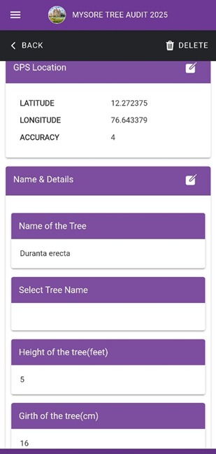
Logged in the field app GPS, species, height & girth captured tree-by-tree on the Mysore Tree Audit app.

For each of the 1,21,789 trees, our volunteers recorded:

📍
GPS Coordinates
Every tree precisely geolocated — searchable on the interactive map
🌿
Species Identified
143+ species in Ward 47 alone. Pongamia is the city's most common tree.
📏
Height & Girth
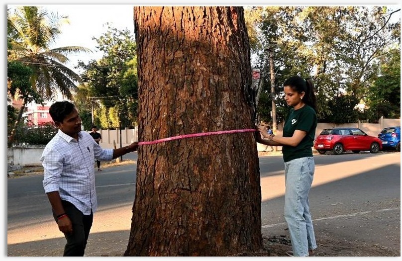
Physical dimensions measured in the field for every tree
🌳
Canopy Spread
Shade cover and cooling effect mapped per ward
💚
Tree Health
Good, branch dieback, crown discoloration, termite, or dead
🛣
Pavement Type
Soil, bitumen, concrete, interlock — which trees are under stress
⚗️
Biomass & Carbon
Ward 47: 2.7M kg biomass, 5M kg carbon sequestered
🌡
Temperature Change 2014–25
Mysuru's trees are measurably cooling the city
The People

Every Organisation.
Every Volunteer.

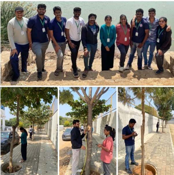
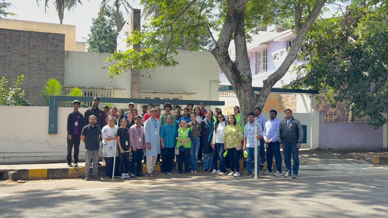
520 citizen scientists from 23 organisations walked every street, counted every tree, and recorded every data point. CFAL Research Centre alone counted 51,203 trees — more than half the total verified count.

520
Citizen Scientists
23
Organisations
6
Months
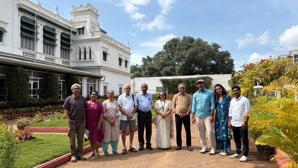
Volunteers of the Mysuru Tree Audit
520 citizen scientists, 23 organisations — walking Mysuru ward by ward.
Lead Partners
Bherunda Foundation
CFAL Research Centre
Government of Karnataka
Mysore Grahakara Parishat
Mysuru City Corporation
All 23 Participating Organisations
Infosys
MIT Mysore
VVCE College
Anuvrat Samiti
ASK Mysore
NIE, Mysuru
JSS Academy of Higher Education & Research
Teresian College
MYRA School of Business
Bharatiya Vidya Bhavan
SDM IMD
JK Tyre
Cycle Pure Agarbathies
Sunpure
ICAN International School
MSA
R Process
Santasa Hospital
SJCE
University of Mysore

Complete list of all 23 organisations and 520 individual volunteers will be published at project completion.

Star Individual Volunteers
Shashidhar Kote Jagadish S Prof. Devika Dr. Sowmya Monishagowda + 515 others whose names will be published in the final report
What's Next

Be Part of
Phase 2

Streets gave us the skeleton. Parks give us the lungs. Phase 2 opens every public park and garden in Mysuru to the same citizen-led census.

1
All 65 Ward Streets
1,21,789 trees mapped across Mysuru
Complete
2
Parks & Public Gardens
150+ parks · Mid-2026 · Open to all citizens
Registering
3
Institutions & Campuses
CFTRI, CIIL, colleges, hospitals, temples
Coming
4
Private & Residential
Citizen-reported trees · Heritage properties
Coming

You do not need a science degree. You need to know your neighbourhood and be willing to walk it.

Register as a Volunteer
Join Phase 2 — Parks & Gardens. We'll reach you via WhatsApp when your area opens.
Your data is never sold or shared. We contact you via WhatsApp only.
The Data

This Data Belongs
to Mysuru's Citizens

Every tree record will be freely accessible. Built by citizens, for citizens. The interactive map, ward reports, and full dataset will be published here.
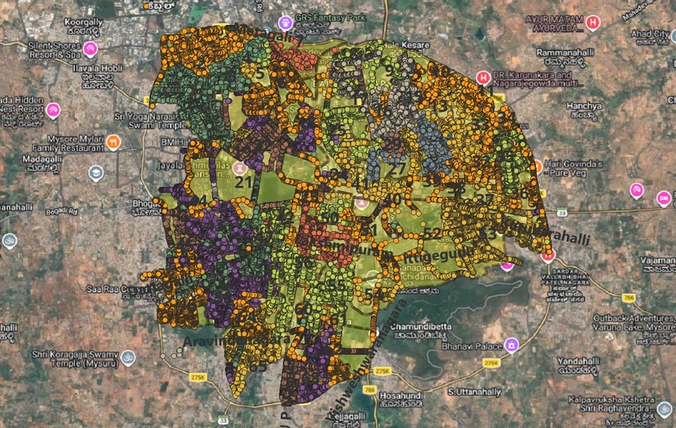
Every mapped tree across Mysuru
Every mapped tree across Mysuru — the interactive street map is launching soon.
01
Interactive Street Map
Click any street in Mysuru. See every tree on it — its species, height, health status, canopy spread, and carbon contribution. Filter by ward, species, or health condition.
02
Ward-wise PDF Reports
Detailed biodiversity and biomass reports for every ward — downloadable, printable, and shareable. Species diversity, health distribution, carbon accounting per ward.
03
Full Dataset Download
GPS coordinates, species, height, girth, canopy, health, pavement type — free for all non-commercial use. Cite as: Mysuru Tree Audit 2025-26, CFAL Research Centre & Bherunda Foundation.
04
MCC Governance Portal
A dedicated portal for Mysuru City Corporation, the District Administration, and city planners — enabling evidence-based decisions on where to plant, what to protect, and how to build Mysuru's Green Plan for the next decade.

Interactive map and full dataset launching soon.

Contact for data access →